







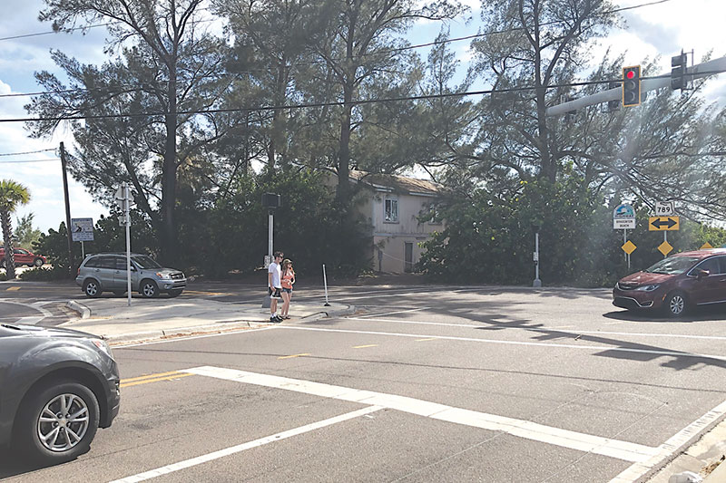
It’s a long and winding road to safer streets.
The Bradenton Beach ScenicWAVES Committee, in an April 16 meeting, recapped a recent presentation from the Florida Department of Transportation on its Barrier Island Complete Streets initiative.
The DOT is spotlighting a $1.7 million study aimed at transforming the primary north-south corridor on Anna Maria Island — Gulf and East Bay drives — into a safer, more accessible route for all users.
The work involves evaluating multimodal transportation alternatives along six miles of the Gulf Drive/East Bay Drive corridor, from the Longboat Pass Bridge through Bradenton Beach to Manatee Avenue West in Holmes Beach.
The city of Anna Maria chose not to participate in the state-run initiative because it owns the section of Gulf Drive within its city limits.
The study focuses on enhancing safety, mobility and environmental sustainability.
According to the DOT, the corridor is a critical evacuation route and it’s also a daily thoroughfare for motorists, making safety and access improvements a priority.
As part of the Complete Streets study, the DOT is considering a range of safety measures, including sea turtle-sensitive lighting, reflective signal backplates, dynamic messaging signs and advanced street name signage.
The project also might include crosswalk visibility enhancements, curb and gutter installations, reduced lane widths to lower speeds and mid-block crossings with high-emphasis markings. Gaps in sidewalks or bike paths may be filled with wide sidewalks or shared-use paths and intersection improvements and bicycle boulevards will be evaluated to improve safety and connectivity.
The DOT has floated the idea of a unified, islandwide speed limit of 25 mph to simplify enforcement and potentially reduce crash severity.
Bradenton Beach police Chief John Cosby and Holmes Beach police Chief Bill Tokajer both shared their thoughts on the proposed speed limit reduction and the overall goals of the initiative.
“The south end is already 25,” Cosby said.
However, Cosby noted that congestion often reduces travel speeds. “(Traffic) is usually 10 mph-20 mph or crawling. I can’t remember the last time we had a traffic crash in which speed was a factor,” he said.
Still, Cosby expressed support for the roadway safety improvements: “There will be a better designated pedestrian/ bike multiuse path. I saw the original plans and they looked good.”
In Holmes Beach, Tokajer called an islandwide speed limit “a great idea.”
Tokajer also backed the broader goals of the program.
According to a DOT corridor analysis, 416 crashes occurred in the study area between 2018 and 2022.
Of those, 13 were categorized as severe. Notably, pedestrian and bicycle-related incidents accounted for 46% of all severe crashes.
A concentrated section of the corridor — from Cortez Beach in Bradenton Beach to Grassy Point Preserve in Holmes Beach — accounted for 71% of pedestrian and bicycle-related crashes. DOT also said 67% of bike and pedestrian crashes occurred in areas where the speed limit is 35 mph.
In addition to mobility and safety, the study examines environmental and economic factors.
The planning phase is underway, with public engagement and environmental studies.
Residents and stakeholders will have opportunities to provide input during public meetings that, according to the DOT, will occur mid- to late-2025.
Study approval is expected in late 2026.